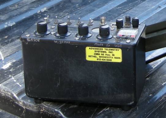
Telemetry Tracking
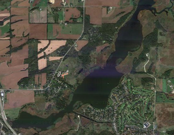
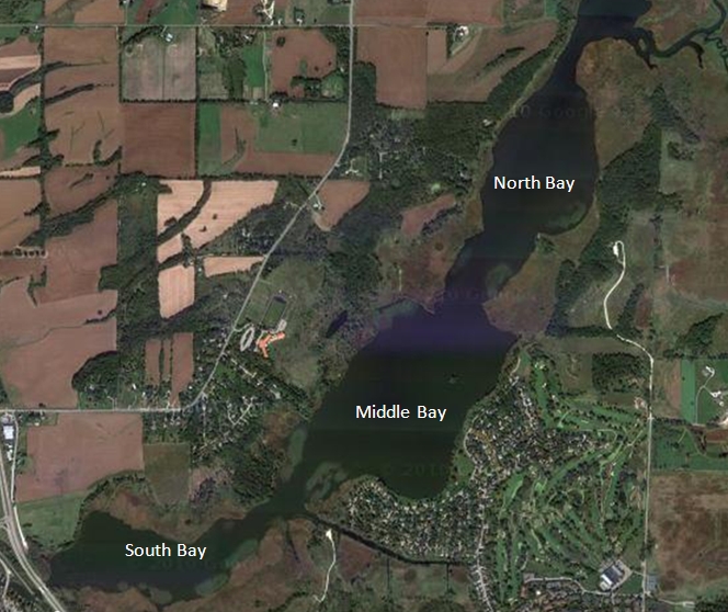
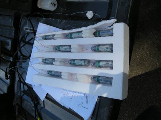
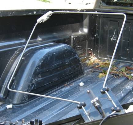
The Wisconsin DNR is currently evaluating the movement of Common Carp throughout Cherokee Marsh, Madison, Wisconsin. They have implanted 20 carp with radio transducers. These carp were taken from three different locations within Cherokee Marsh. North Bay, Middle Bay, and South Bay. Over the course of the fall, Hoi Lai Tseung and I have tracked their locations every 10-14 days with a telemetry antenna and receiver. We want to know if they stay in the bay, move north into the Yahara River or Token Creek inlets or head south into Lake Mendota. Tracking the patterns of the 20 carp is important, but I would like to find out the movement of the rest of the Carp in the area as well . I propose to put hydroacoustic instruments under the railroad or HWY 113 Bridge near the Nau-Ti-Gal restaurant and bar to track the movement of the carp and other fish species. Determining the target strength of each species that are known to exist and move throughout the estuary will be of utmost importance to “recognize” the species and their patterns. Eventually tracking the movement of fishes into and out of the Yahara River and Token Creek will be equally as valuable.
Pictures of Tracking Results
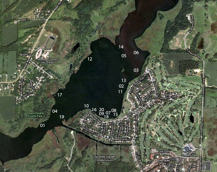
Carp Locations 10/8/2010
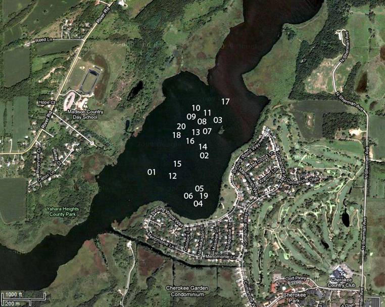
Carp Locations 11/17/2010
*All the links are mine not annoying advertisements. Click on them to see the pictures.
Pictures of Tracking Results
Carp Locations 10/8/2010
Carp Locations 11/17/2010
*All the links are mine not annoying advertisements. Click on them to see the pictures.

